Geographic Information Systems
Working with OARC for Geographic Information Systems
Geographic Information Systems, or GIS, have become an essential tool for analyzing data through the lens of place, allowing researchers to turn geographic information into maps and visualizations that reveal patterns and relationships not easily seen otherwise. At OARC, support for this work is built into a range of services designed to make these tools more accessible. Through one-on-one consultations and hands-on workshops, we help scholars navigate GIS software, identify and use relevant data, and incorporate spatial analysis and visualization into their research.
What can you create with GIS?
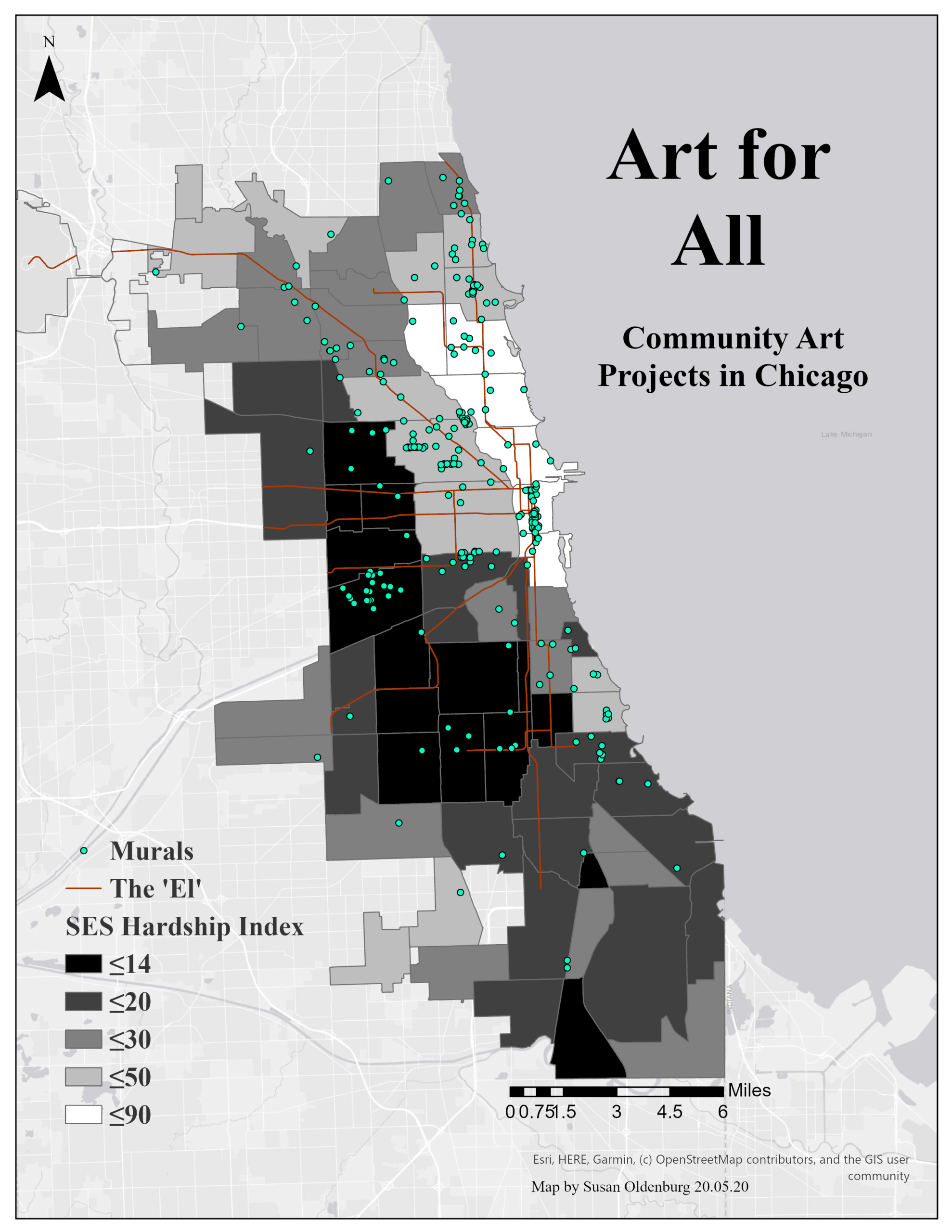
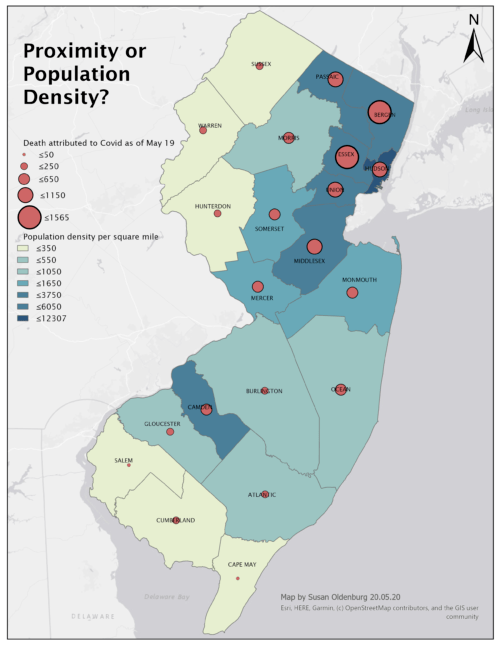
Two sample visualizations are shown below. Please contact Sue Oldenburg at gis-help@rutgers.edu with your GIS needs.